New Features for Managing and Applying Tides in Qimera
When: The release of Qimera 1.1 includes Tide stations and Tide Strategies, two new features that add significant functionality for managing and applying tidal data to raw sonar files.
What are the changes?
In Qimera 1.0 tide files were treated as standalone data objects, similar to imported navigation files. But unlike navigation data, which are imported to vessel systems, there was no mechanism for grouping tide data from multiple files, customizing textual representation, or applying offsets or correctors. Introduced in Qimera 1.1, Tide Stations and Tide Strategies provide similar functionality for tide data that vessel systems provide for navigation data. This enables high level functionality such as tidal zoning and multi-station computations. The new functionality continues to be integrated in the Dynamic Workflow, meaning as you make changes the affected raw sonar files will be appropriately marked dirty.
What is a Tide Station? What is it used for?
Tide Stations are used for grouping, identifying, and importing of tide files from a single source, such as a tide gauge or predictive model. Tide Stations include information shared by all the tide files which is used for identification and conversion to project units, this shared information includes station name, unique identifier, position, units, time zone and tidal datum.
If tidal data is intended to be applied directly to raw sonar files the Tide Stations are exposed in Processing Settings for prioritizing tidal data for use in Vertical Referencing. For larger projects with multiple tide gauges this allows for selective application of the stations and smart switching if there is limited data availability or gauge outages. For more advanced applications Tide Stations can also be employed in Tide Strategies.
What is a Tide Strategy? What is it used for?
Tide Strategies offer options for applying offsets, scale factors, advanced methods, and spatial constraints to one or more Tide Station.
Like Tide Station, Tide Strategies can also be used as a prioritized data source in the Processing Settings > Vertical Referencing tab. This allows for smart switching between multiple Tide Strategies and Tide Stations in both time and position.
New Visualizations
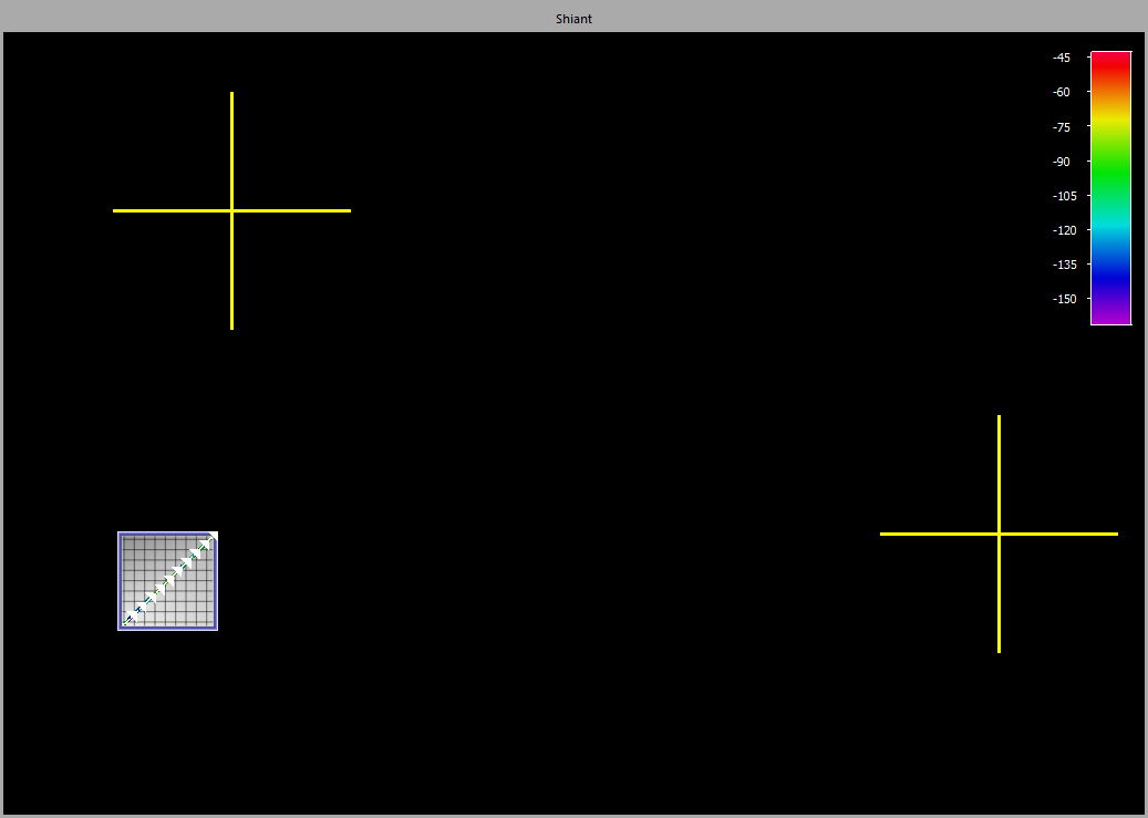
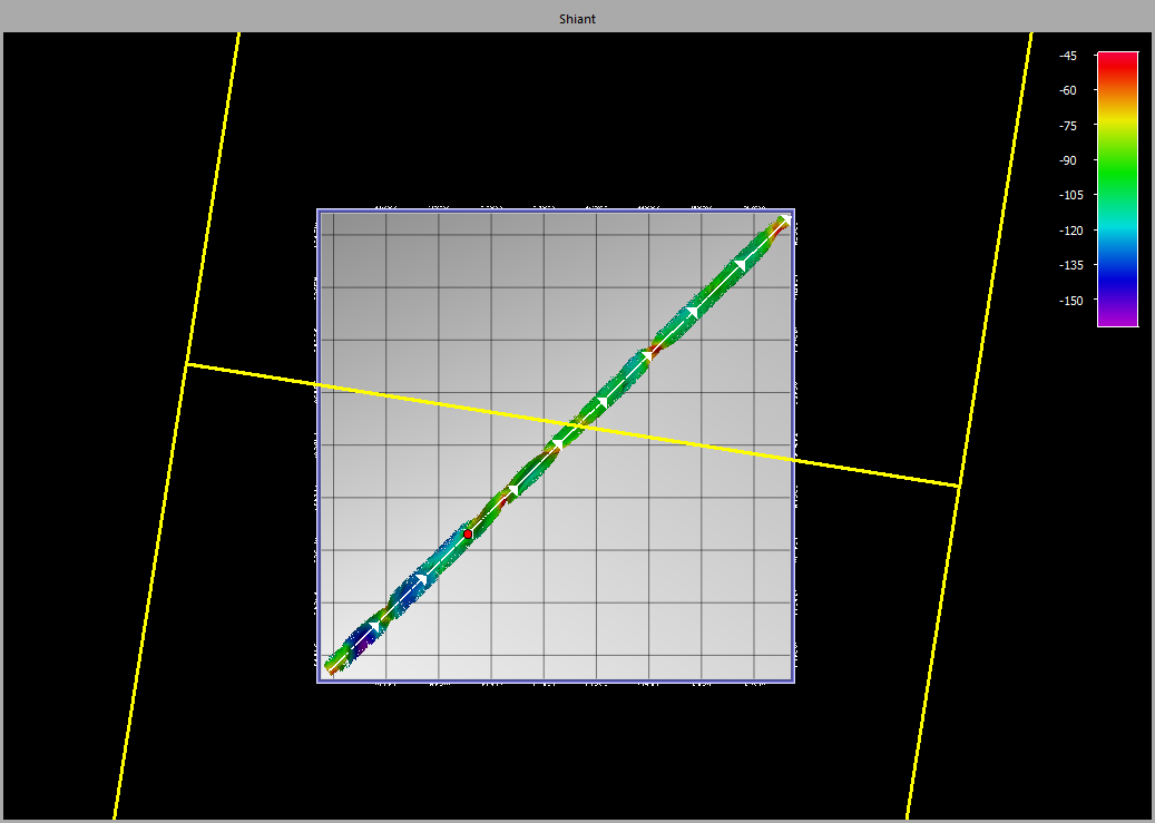
The geographic information for both Tide Stations (left) and Tide Strategies (right) are also visualized in the work area for easy contextualization with raw sonar files.


This can be valuable for understanding the spatial relationship of tidal data to the hydrographic data and especially useful for troubleshooting data issues such as tide busts.
Where to get more help?
There are several HowTo's discussing tides and their use in Qimera projects:
And as always there is detailed information about the various dialogues in the Interface Documentation:
