Line Planning Session
In the Survey Manager of Qinsy is it possible to create a line planning file. The benefit of this functionality is that it is possible to use the file in Qinsy when online, but that it is also possible to export it to a certain format.
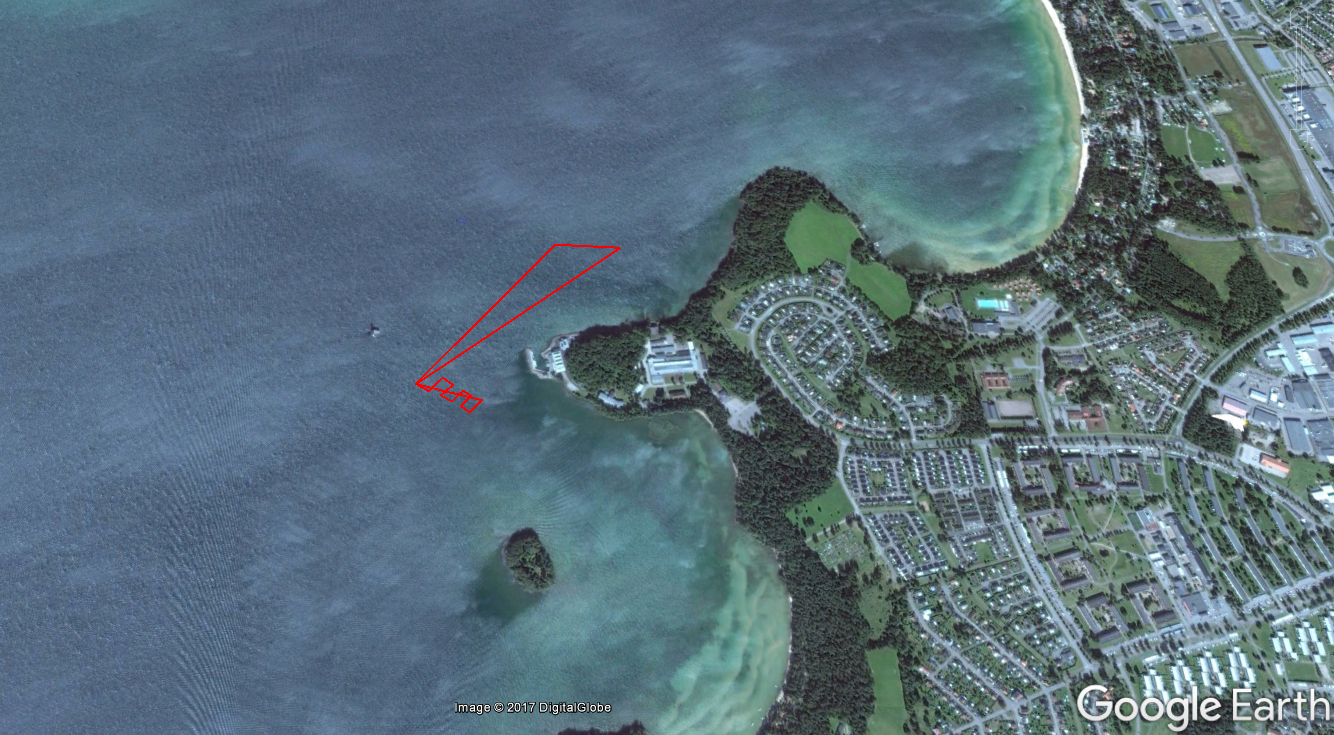
For example to the Google Earth *.KML file format.
When the Survey Manager is started, a pop-up window will appear where the user can choose what kind of session they want to create.
The following steps need to be made when a line plan needs to be created:
- Start a line planning session;
- Give the file a suggestive name. For example: 10-05-2017 - Sabertooth - Wreck session;
- Select the file in the Project Explorer in the Survey Manager and note that a new tab appears in the ribbon called 'Line Tools'
It is possible to import data in the lines plan or to create a lines plan manually. By right clicking the file, and selecting Import, it is possible to import data in various formats. For example: Google Earth KML file, ASCII line offsets, Autocad etc...
It is also possible to create the lines plan manually by selecting 'Create Object'. More about this can be found at: Line Planning in the Survey Manager
When the line plan is created, it is possible to export the plan to a couple of different file formats.
It depends on the Mission planner software which format is supported. The CARUS software of Saab supports the Google Earth KML file.

