Geodetics
Main Item | Description | Value Type |
|---|---|---|
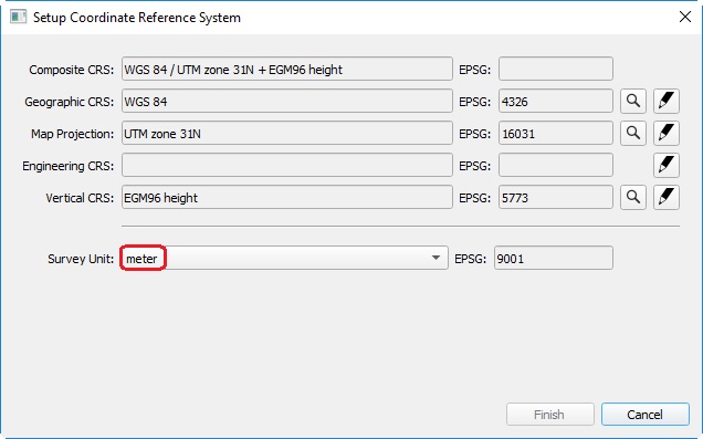
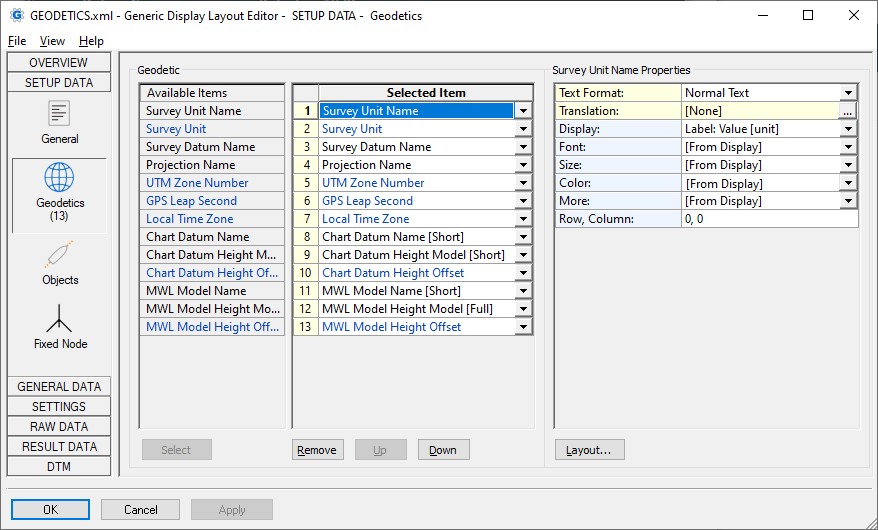
Survey Unit Name | Name of the selected survey unit, as seen in the Setup Coordinate Reference System. | text |
Survey Unit | Conversion factor to meters, for the selected survey unit. | double |
Survey Datum name | Name of the Survey Datum (or Horizontal Datum) as selected in the Setup Coordinate Reference System. Example: "ED50" | text |
| Projection Name | Full name of the Projection Type, as selected in the Select Transform of the Setup Transform in the Geodetic wizard, plus the selected spheroid name of the survey datum between brackets. Example: "Stereographic (RDNAPTRANS) (Bessel 1841)" | text |
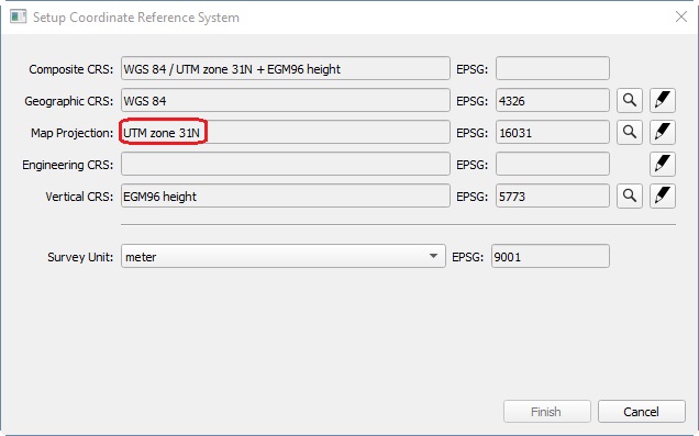
| UTM Zone Number | Universal Transverse Mercator Zone number, as defined in the Geodetic Configuration. | int |
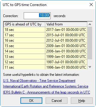
| GPS Leap Second | Difference between GPS Time and UTC time, in seconds.
| double |
| Local Time Zone | The computer's local time zone information, in hours. Notice that the zone offset is returned in decimal hours. Further, if daylight saving time is applicable, an extra hour is added. Examples: 0 means GMT, -13 means far West, +13 means far East, +5.75 means Kathmandu, +9.50 means Adelaide, +1 means Amsterdam during winter, +2 means Amsterdam during summer, due to daylight saving time. | double |
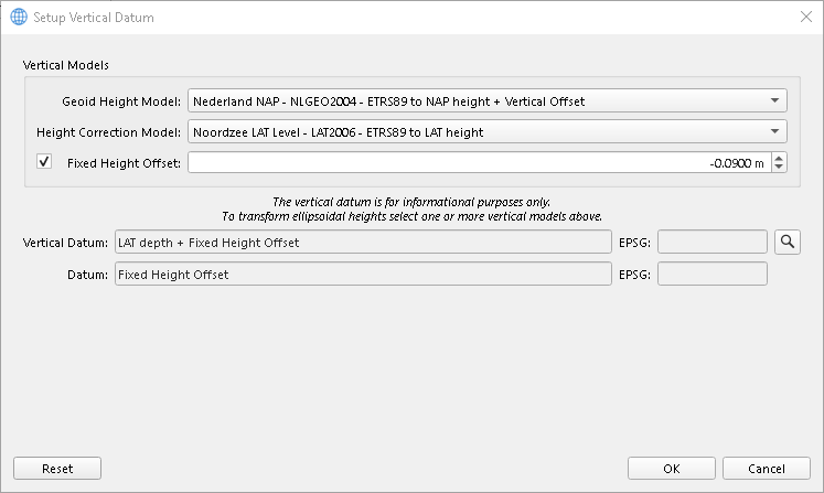
| Chart Datum Name | The name of the Chart Datum (also referred as Vertical Datum or Geoid Height Model) as selected in the Vertical CRS Setup dialog of the Geodetic Wizard. When using property Parameter 'Short', the first part of the full name will be omitted. | text |
| Chart Datum Height Model | The name of the Height Correction Model as selected in the Vertical Datum Setup dialog of the Geodetic Wizard. Note the additional Parameter property 'Short' or 'Full'. | |
| Chart Datum Height Offset | The height offset above chart datum (or vertical datum) for the height results. | double |
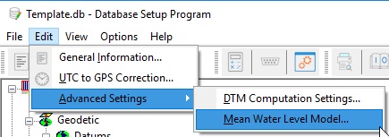
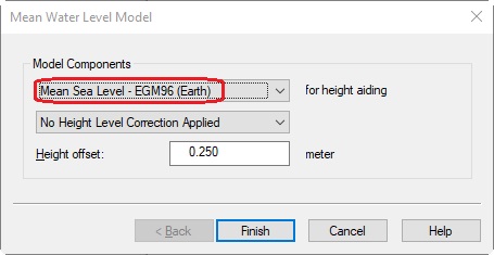
| MWL Model Name | The name of the Mean Water Level Model, as selected in your template setup (Edit, Advanced Settings, Mean Water Level Model). When using property Parameter 'Short', the first part of the full name will be omitted. | text |
| MWL Model Height Model | The name of the selected Height correction model, as selected in your template setup (Edit, Advanced Settings, Mean Water Level Model). Note the additional Parameter property 'Short' or 'Full'. | |
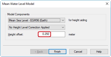
| MWL Model Height Offset | The height offset above level datum. | double |

