
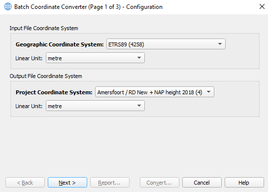
This wizard page defines the conversion configuration of the source or input coordinate system as well as the target or output coordinate system.
Both coordinate systems allow to set the linear unit for projected and height related quantities, such as Easting, Northing, Orthometric Height and Ellipsoidal Height.
On this page:
Coordinate Systems
In bold text the type of coordinate system is displayed for both coordinate systems associated with resp. input files and output files.
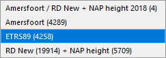
This type changes depending on the selection in the dropdown list, e.g. for an input file coordinate system the following choices are available
(valid only for the predefined geodetic configuration named "Netherlands RD / NAP (RDNAPTRANS 2018)"):
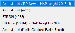
The corresponding output file coordinate systems for this example are listed as follows:
In the table below the possible coordinate system types are displayed applicable to the input files (for this example only):
|
Type of coordinate system for all input files |
Example |
Remark |
|---|---|---|
|
Project Coordinate System |
Amersfoort / RD New + NAP height 2018 (4) |
Between brackets the EPSG code is made available for looking up purposes, e.g. here. |
|
Geographic Coordinate System |
Amersfoort (4289) |
idem |
|
Geographic Coordinate System |
ETRS89 (4258) |
idem |
|
Map Projection |
RD New (19914) + NAP height (5709) |
idem |
|
Local Engineering Coordinate System |
--- |
Shows up if this example would have defined a local engineering coordinate system,
|
For output files one extra coordinate system type is supported being (next to all of the above listed coordinate systems):
|
Type of coordinate system for all output files |
Example |
Remark |
|---|---|---|
|
Geocentric Coordinate System |
Amersfoort (Earth-Centred Earth-Fixed) |
The name in the "Example" column is built up from the name of the Geographic Coordinate System.
|
Linear Units
Select the unit of all linear quantities in the input and output files.
Examples:
-
Easting
-
Northing
-
Orthometric Height
-
Ellipsoidal Height
-
Geoid Height
-
Fixed Height Offset
-
Local X, Y and Z (local engineering coordinate system)
-
ECEF X, Y and Z
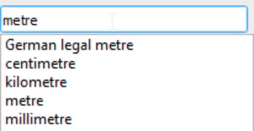
Choose the linear unit from the appropriate filterable dropdown list:
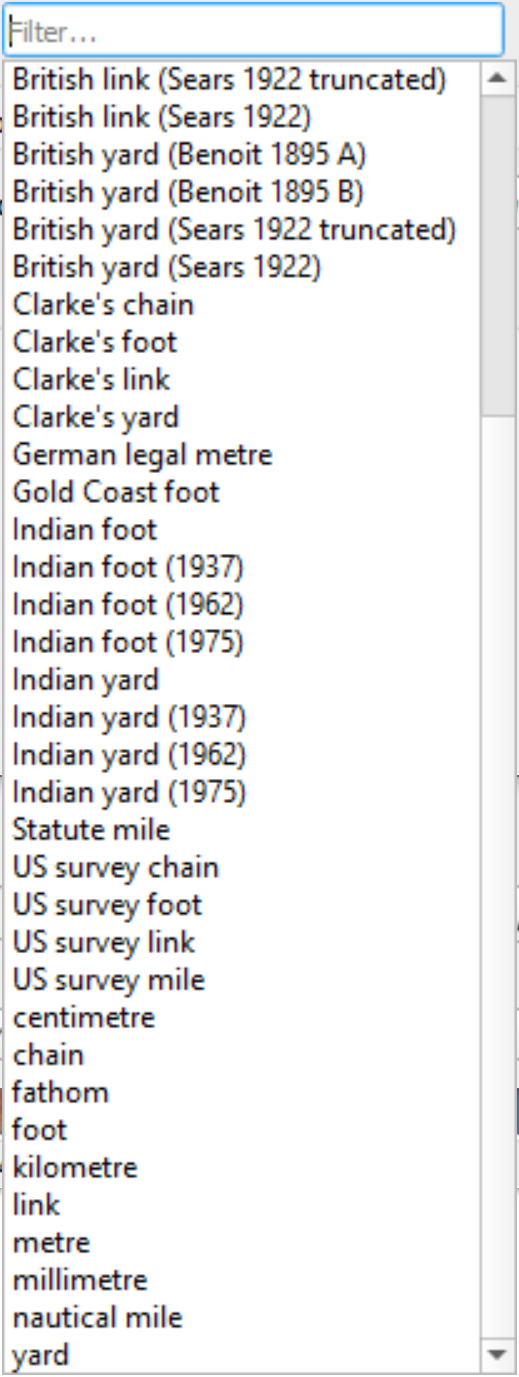
Tip:
Typing "metre" shows a subset of the list allowing you to easier identify the unit of choice:
How to continue with the wizard?
Clicking the "Next >" button shows the Input Wizard Page. Its file parse configuration depends on the selected input file coordinate system.