
How to Start
-
Scene Objects Dock → Right-Click on Object → Operations → Contours
-
Scene Objects Dock → Operations → Contours
What it Does
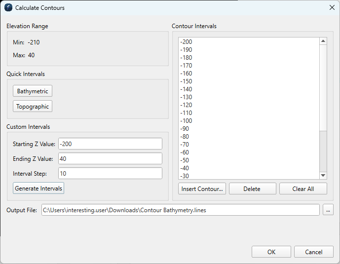
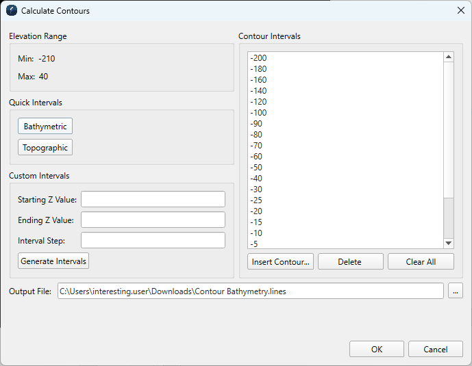
The Calculate Contours Dialog allows the user to create contours on the selected surface.
General Description
Elevation Range
The Minimum and Maximum Elevation values for the selected surface are displayed here, to be used during Custom Interval creation.
Quick Intervals
The easiest and fastest way to generate intervals is to click on either the Bathymetric or Topographic Quick Intervals button. Clicking either of these buttons will add a number of intervals in the Contour Intervals list box. This feature is used to generate contours of a dataset. It will generate predefined intervals based on the range of the input dataset. If a predefined value falls within the bounds of the dataset, it will populate in the Contour Interval list.
Custom Intervals
To generate contours at regular intervals, the user must specify the minimum and maximum starting elevation and the elevation step amount in the Starting Z Value, Ending Z Value and Interval Step fields. Once these values are specified, clicking on the Generate Intervals will automatically add the appropriate contours to the list.
Note: only intervals that fall within the selected Elevation Range will be added.
Contour Intervals
Specific intervals can also be added directly by clicking the Insert Contours... button. The new interval will then be added to the list.
Intervals can be removed by highlighting them and clicking the Delete button.
The Clear All Values will clear all the entries in the list.
The Cancel button simply closes the dialog without performing the contouring operation.
Output File
Name and path of contour lines file to be created.
Note that since 7.6.0, each contour line has an attribute called Elevation with the interval height encoded. This is useful when exporting the contours to Arc, since the contour height can be exported with the data.