How-to Create an SD model for Geoid separations
This article describes three methods to create an SD model for height model application in Qimera Vertical referencing:
1. From a gridded file, for example a gridded ASCII file.
2. How to bring a River Lines Geoid separation model from QINSy into Qimera.
3. How to convert a binary geoid in Qinsy Processing Manager
On this page:
Method 1: How to create an SD model from a gridded (ASCII) file
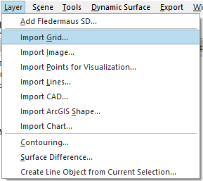
- From the Layer drop down menu in Qimera, select Import Grid
- Choose the file and the import file format, then follow the wizard for the field mappings and set the correct coordinate systems for the input and output
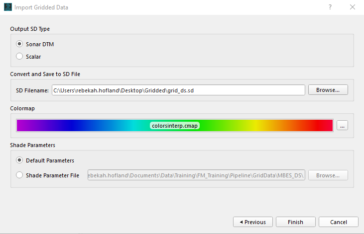
On the last page of the import wizard, select Sonar DTM for the Output SD Type, and set the save location for the SD file.
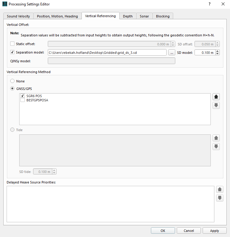
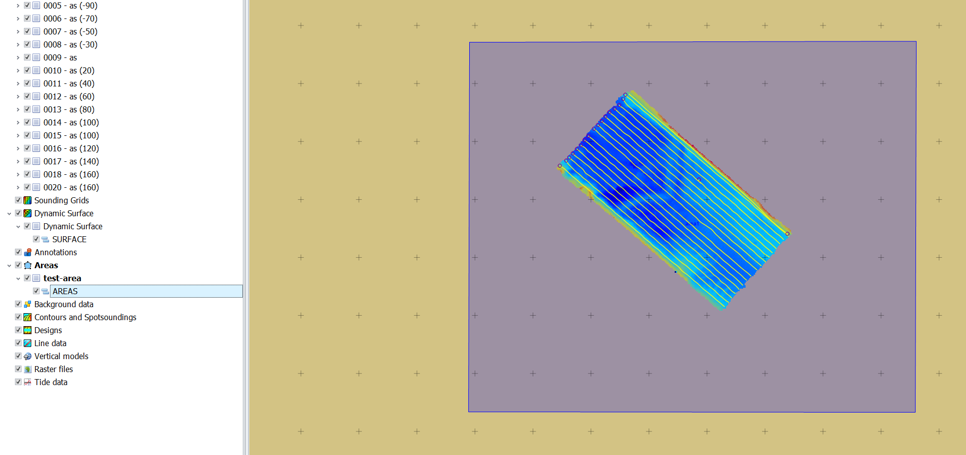
Quality check the SD model and apply the model in Qimera processing Settings, Vertical Referencing tab:
Check the Separation model option in the vertical offset window. You will then be prompted to select a grid file. Apply the changes to the settings, and reprocess the the files affected.
Creating a custom separation model from ASCII points is making an assumption that you have an entire geoid separation model.
Method 2: How to use a Vertical Offset (*.qgfvom) Model used in Qinsy during acquisition
- Please see the following pages:
Method 3: How to convert a *.bin or other binary geoid in Qinsy Processing Manager
- In Processing Manager, create an area and click Save
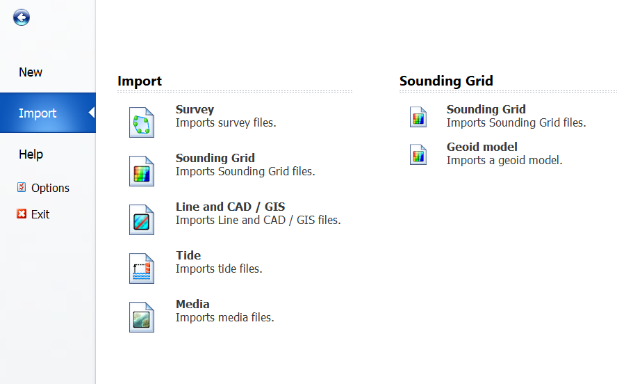
- Click on the blue Tab button at the far top left. Then select Import and then Sounding Grid and finally Geoid Model:
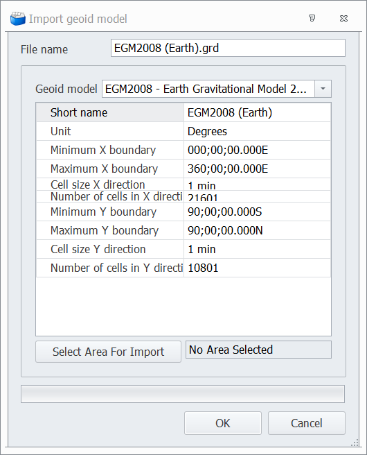
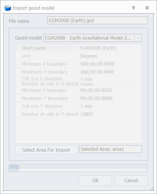
- Select the geoid model in the Import geoid model dialog:
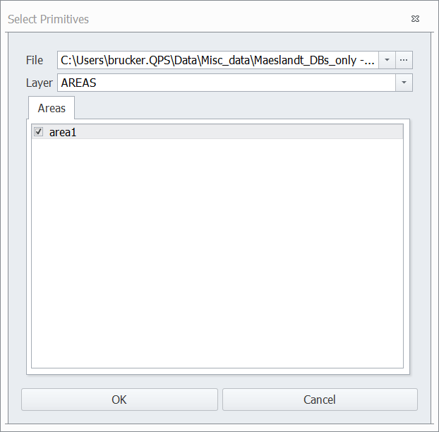
- Click on Select Area for Import and choose the area file that you created in step 1
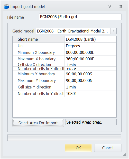
- Click OK if the area for import is properly populated:
- The dialog will grey itself out for the duration of the import. There is a progress bar at the bottom.
- The imported GRD will now show up in the Processing Manager Project Explorer dock.
- You may want to QC the grid: select on the grid in Project Explorer dock, right mouse, zoom to fit. Then color settings, then Autoscale. If all looks okay, then proceed to next step.
- You can now go to Qimera and import the .grd file that has been created (Layer → Import Grid, specify QPS Grid). Alternatively, in Processing Manager, you can also export the grid as ASCII and build a new grid from that.
- When the GRD is imported into Qimera, an SD file will be created in the project folder. Point to that from the Processing Settings - Vertical Referencing tab to apply it as a separation model.

