
Introduction
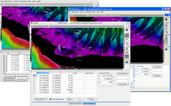
The Fledermaus suite of software continues to provide a powerful set of interactive 3D visualization tools for data preparation, analysis and presentation. It allows one to assemble and explore a virtual 3D world containing many object models including surfaces, images, points, lines, and cross-sections. The software is tailored for the display of geographic data, for example digital terrain models of the ocean floor or a 3D contour map of a mountain range; however, it is quite flexible and has been used to visualize such diverse objects as crop growth rates, oil field development/pipelines and chemical reactions.
The Linux, Macintosh, and Windows Versions
Fledermaus has been designed specifically to allow near real-time, interactive display of very large complex 3D objects at their full resolution. Fledermaus features our ShiftScapeTM rendering engine, which automatically adjusts the amount of detail in a scene based on the performance of your hardware. Two visualization interfaces are provided that allow you to literally fly through the virtual 3D-exploration space. This makes the exploration of data a simple and intuitive process. The exploration environment is closely coupled with intuitive data analysis tools, which help delve into the information behind the imagery.
The Fledermaus package allows the import of a wide variety of data formats and creates richly featured 3D models. For examples: one can generate a simple 3D surface color banded by height; or a high-resolution satellite image can be draped over the same 3D surface producing a combined 3D model.
Many objects can be visualized in the same 3D-exploration space, such as, two 3D surfaces show a shipping channel, one from before a dredging operation and one after the completed operation; add a model of the channel design and you have a complete, obvious representation of the design and the results of the dredging work all in a single 3D scene. Additional tools provide quantitative analysis such as queries to determine how much material was dredged.
Data files produced in Fledermaus can be distributed to anyone along with iView4D, which provides a free interactive 3D viewer for these data sets.